A HISTORY OF MARITIME NAVIGATION

In June 2022, Cowbridge u3a History group member Rob Cumbes gave an illustrated presentation on the story of maritime navigation. Rob ran away to sea at 16 and worked his way upwards to become a master mariner, one who holds the highest grade of seafarer qualification.
Knowing exactly where you are has been a problem for seafarers from time immemorial, especially once out of sight of land. Finding latitude (zero degrees at the Equator and 90 degrees at the poles) has been relatively straightforward, so long as the horizon is visible and the skies are clear, by observation of the angle to the Pole Star twice daily (essentially dawn and dusk).
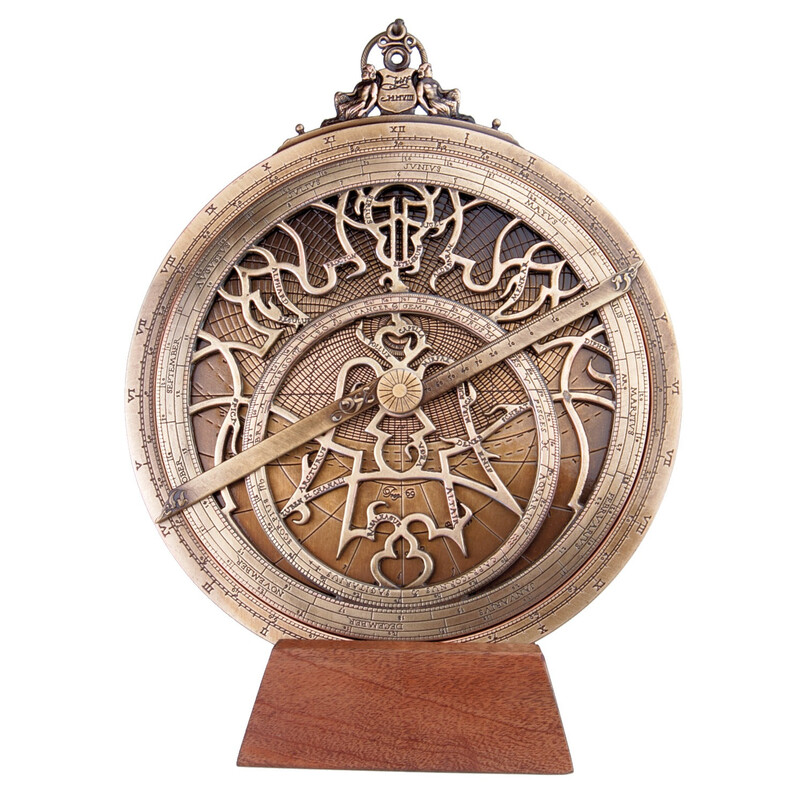
The first instrument, invented about 200BC, used to measure the angles was the astrolabe. The quadrant was a 14th century improvement, but both were difficult to use in rough weather. Indeed, this was to be a persistent problem for centuries.
Rob used a landlubber from the audience to show how difficult it was to focus on a star in the firmament while standing on a ship that was rolling and pitching.
Later devices, such as the 16th century cross staff, used a method that measured the angle between the sun and the horizon. Although measurements could be made during the day, one problem was that staring at the sun over a period of time resulted in blindness for many mariners.
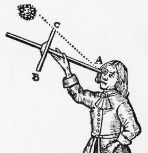
Refinements were introduced: shades to protect eyes and mirrors to view the shadow of the sun. The instrument in use today is the sextant, a doubly-reflecting navigation tool that measures the angular distance between two visible objects. It remains fundamental navigational equipment.
Finding longitude was more of a problem. Seafarers would navigate by experience, use of their calculated latitude, islands observed en-route and dead reckoning, based on distance travelled and time elapsed.
John Flamstead, appointed Astronomer Royal by Charles II, mapped the night sky and produced a means of finding longitude by measuring the distance between the moon and nine stars. As well as involving many trigonometric equations, a clear sky for observation was required.
It was a carpenter, John Harrison, who made the accurate timepieces (works of art in themselves) that developed from a very large clock into watch-size models. In sea trials, these clocks were twice as accurate as the lunar distance method in determining longitude.
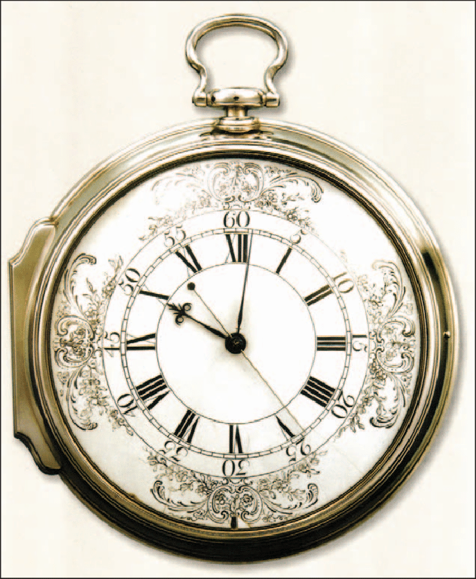
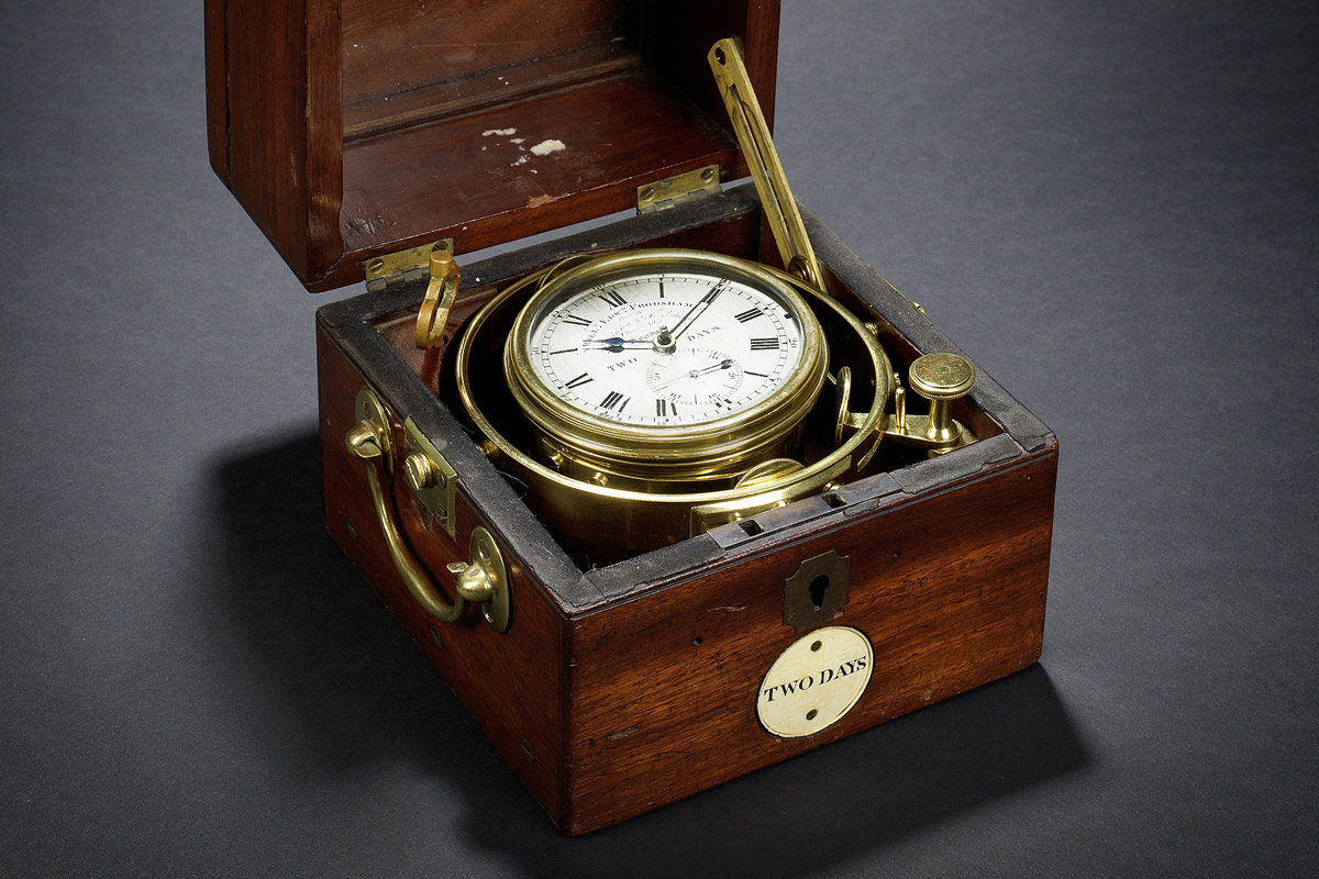
Harrison’s timepieces evolved into the marine chronometer, gimballed to cope with the movement of the waves, which could be used in conjunction with accurate nautical tables of sun and star data.
A prize of £20,000 had been offered for solving the problem of longitude, but Harrison was to spend many years fighting for his rightful claim to the money – he was finally given about half the award.
The Greenwich Meridian was, eventually, standardised as the international zero line for longitude.
In the modern world, almost everyone relies on one of the Global Navigation Satellite Systems, sophisticated arrays of satellites in fixed orbits above the Earth, to determine location. So no-one can get lost now, can they?
Steve Monaghan