LLANQUIAN CASTLE
Like me, you may have heard of Llanquian Castle on Stalling Down, but never knew where exactly it was or what remains still existed. Despite walking the area on numerous occasions during the last ten months (very little else to do!), I hadn’t been able to identify the structure’s location. Of course, being a man, I had never taken a map with me, as it was always an afterthought to look for the castle.
Recently, armed with Ordnance Survey map co-ordinates (ST 0189 7442) from the Internet and a GPS, and aided by my wife Valerie, success was achieved. The castle is adjacent to the footpath running from Hollybush Farm down to Tim Vaughan’s racing stables.
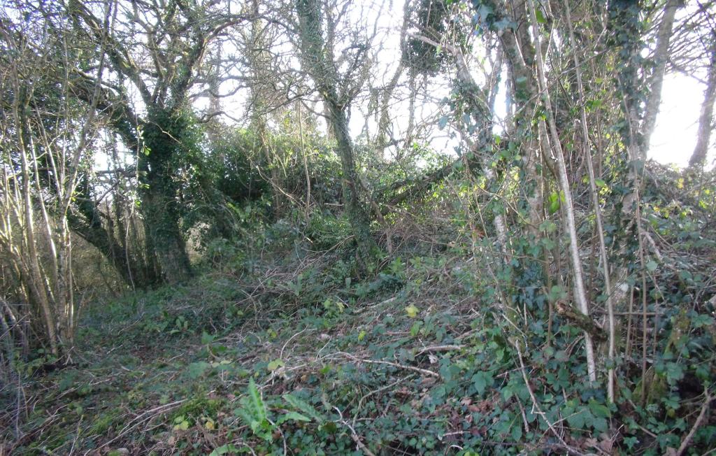
It’s not obvious, as the site is thoroughly overgrown and it is difficult even to see the shape of the motte. The scant remains of a wall are visible from the footpath. Apparently another wall exists on the further side, but a machete, at the least, would be needed to gain access to it. (A chainsaw might be a better option.)



Robert de Wintona accompanied Robert Fitzhamon during the Norman conquest of South Wales in the late 11th/early 12th century and was granted Welsh lands over which to establish lordships. As well as at Llandow, Robert was given land named “Llanquian” near present day Cowbridge, where he built a fortified manor on the western side of a valley (now called “Pant Wilkin”), which no doubt offered a natural means of protection.
The manor was rebuilt in stone in the 13th century and has been known as “Llanquian Castle”, although it was never on the scale of the nearby St Quentin’s Castle in Llanblethian, which has similar origins.
A survey of the ruins at Llanquian in 1872 by George Thomas Clark (surgeon, engineer and historian of Glamorgan, so obviously multi-talented) indicated that there were more substantial remains then.


Today, as already described, little remains of the structure so the uninformed would probably pass by and never realise it was there.
North-north-east of the nearby Llanquian Wood hill fort, which probably dates from the Iron Age, there is another structure on the map, at the southern edge of Coed Pen-y-Ffordd- fawr*, called “Castell Coch". The footpath below this is currently completely impassable, being thoroughly overgrown, so exploration must wait!
Steve Monaghan
* This roughly translates as "the wood at the end or top of the main road", suggesting the nearby footpath was possibly once a major route. A path to Llanquian Castle? An old Roman road? Or a track, from an even earlier period, to the hill fort?